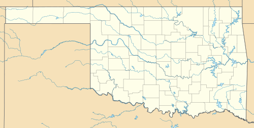
Stones Corner, Oklahoma
| Stones Corner, Oklahoma | |
|---|---|
| Unincorporated community | |
 Stones Corner, Oklahoma | |
| Coordinates: 35°52′16″N 95°36′24″W / 35.87111°N 95.60667°WCoordinates: 35°52′16″N 95°36′24″W / 35.87111°N 95.60667°W | |
| Country | United States |
| State | Oklahoma |
| County | Wagoner |
| Elevation | 561 ft (171 m) |
| Time zone | Central (CST) (UTC-6) |
| • Summer (DST) | CDT (UTC-5) |
| Area code(s) | 539 & 918 |
| GNIS feature ID | 1100856[1] |
Stones Corner is an unincorporated community in Wagoner County, Oklahoma, United States. It is located at the junction of Oklahoma State Highway 51B and Oklahoma State Highway 104, approximately 4 1/2 miles west of Porter, Oklahoma, and 7 miles south of Coweta, Oklahoma. Primarily a farming community, it once was home to a farm equipment dealer and repair shop, and Stones Corner filling station and grocery, until the latter burned down in the late 1980s.
References
This article is issued from Wikipedia - version of the 2/16/2014. The text is available under the Creative Commons Attribution/Share Alike but additional terms may apply for the media files.
