Pony Fire
| Pony Fire | |
|---|---|
|
Pony Fire as seen June 10, 2016 during Initial Attack. | |
| Location | Klamath National Forest, Happy Camp, Siskiyou County, California |
| Coordinates | 41°37′23″N 123°33′25″W / 41.623°N 123.557°W |
| Statistics[1] | |
| Date(s) | June 7, 2016 |
| Burned area | 2,858 acres (12 km2) |
| Cause | Lightning |
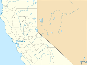
| Map | |
 Location in California | |
The Pony Fire is a lightning caused wildfire in Happy Camp, Siskiyou County, California.[1]
Events
On June 8, a lightning storm passed through the Klamath National Forest igniting multiple small fires.[2] One of the strikes, near Pony Peak, quickly grew to over 150 acres (0.61 km2) and became the Pony Fire. Efforts to extinguish the fire were hampered by steep terrain and difficult conditions.[2]
See also
References
- 1 2 "Pony Fire". InciWeb. Retrieved June 26, 2016.
- 1 2 "Pony Fire on the Klamath National Forest grows". 8 June 2016. Retrieved 28 June 2016.
External links
This article is issued from Wikipedia - version of the 10/2/2016. The text is available under the Creative Commons Attribution/Share Alike but additional terms may apply for the media files.
