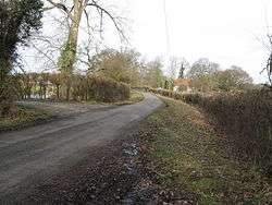
Gay Street, West Sussex
Coordinates: 50°58′26″N 0°27′41″W / 50.9739°N 0.4613°W
Gay Street is a hamlet in the Horsham District of West Sussex, England. It lies on the North Heath to West Chiltington road 1.9 miles (3.1 km) northeast of Pulborough( where the 2011 Census population was incuded).
| Wikimedia Commons has media related to Gay Street, West Sussex. |
This article is issued from Wikipedia - version of the 9/29/2016. The text is available under the Creative Commons Attribution/Share Alike but additional terms may apply for the media files.

