List of districts of Bihar
Bihar, a state of India, has currently thirty-eight administrative districts.
A district of an Indian state is an administrative geographical unit, headed by a district magistrate or a deputy commissioner, an officer belonging to the Indian Administrative Service. The district magistrate or the deputy commissioner is assisted by a number of officials belonging to different wings of the administrative services of the state.
A superintendent of Police, an officer belonging to Indian Police Service is entrusted with the responsibility of maintaining law and order and related issues.
3 to 5 districts comprise to form a division(प्रमंडल). Each district is divided into Sub-division(अनुमंडल), which are further sub-divided into C.D. Block(प्रखण्ड)
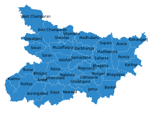
Districts of Bihar
Summary
| Code | District | Headquarters | Population (2011) | Population (2001)[1] | Area (km²) | Density (/km²) (2001) |
Map |
| AR | Araria | Araria | 2,811,569 | 2,124,831 | 2,829 | 751 |  |
| AR | Arwal | Arwal | 699,000 | 589,476 | 637 | 918 | 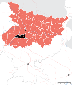 |
| AU | Aurangabad | Aurangabad | 2,540,073 | 2,004,960 | 3,303 | 607 | 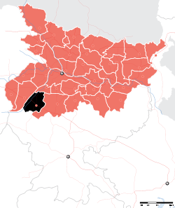 |
| BA | Banka | Banka | 2,034,763 | 1,608,778 | 3,018 | 533 | 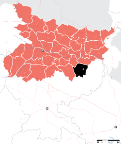 |
| BE | Begusarai | Begusarai | 2,970,541 | 2,342,989 | 1,917 | 1,222 | 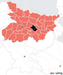 |
| BG | Bhagalpur | Bhagalpur | 3,037,766 | 2,430,331 | 2,569 | 946 | 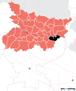 |
| BJ | Bhojpur | Arrah | 2,728,407 | 2,233,415 | 2,473 | 903 | 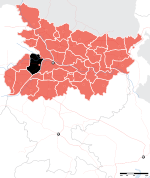 |
| BU | Buxar | Buxar | 1,706,352 | 1,403,462 | 1,624 | 864 | 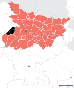 |
| DA | Darbhanga | Darbhanga | 3,937,385 | 3,285,473 | 2,278 | 1,442 | 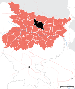 |
| EC | East Champaran | Motihari | 5,099,371 | 3,933,636 | 3,969 | 991 | 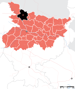 |
| GA | Gaya | Gaya | 4,391,418 | 3,464,983 | 4,978 | 696 | 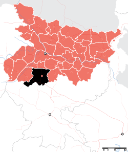 |
| GO | Gopalganj | Gopalganj | 2,562,012 | 2,149,343 | 2,033 | 1,057 | 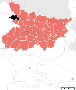 |
| JA | Jamui | Jamui | 1,760,405 | 1,397,474 | 3,099 | 451 | 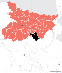 |
| JE | Jehanabad | Jehanabad | 1,125,313 | 924,839[2] | 1,569 | 963 |  |
| KH | Khagaria | Khagaria | 1,666,886 | 1,276,677 | 1,486 | 859 | 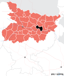 |
| KI | Kishanganj | Kishanganj | 1,690,400 | 1,294,063 | 1,884 | 687 | 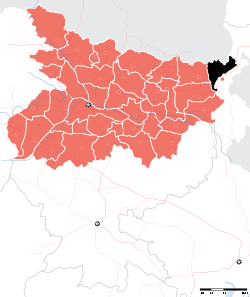 |
| KM | Kaimur | Bhabua | 1,626,384 | 1,284,575 | 3,363 | 382 | 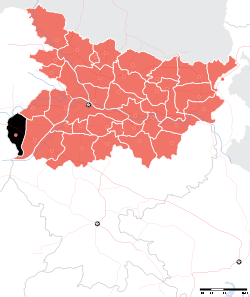 |
| KT | Katihar | Katihar | 3,071,029 | 2,389,533 | 3,056 | 782 | 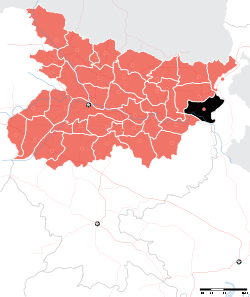 |
| LA | Lakhisarai | Lakhisarai | 1,000,912 | 801,173 | 1,229 | 652 | 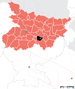 |
| MB | Madhubani | Madhubani | 4,487,379 | 3,570,651 | 3,501 | 1,020 | 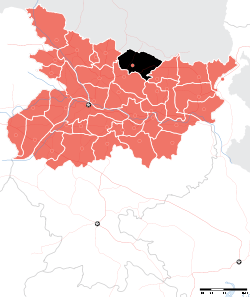 |
| MG | Munger | Munger | 1,367,765 | 1,135,499 | 1,419 | 800 | 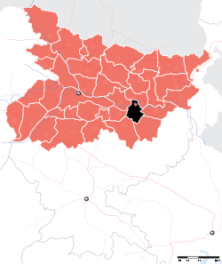 |
| MP | Madhepura | Madhepura | 2,001,762 | 1,524,596 | 1,787 | 853 | 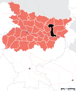 |
| MZ | Muzaffarpur | Muzaffarpur | 4,801,062 | 3,743,836 | 3,173 | 1,180 | 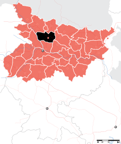 |
| NL | Nalanda | Bihar Sharif | 2,877,653 | 2,368,327 | 2,354 | 1,006 | 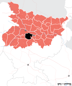 |
| NW | Nawada | Nawada | 2,219,146 | 1,809,425 | 2,492 | 726 | 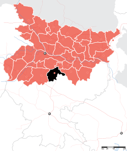 |
| PA | Patna | Patna | 5,838,465 | 4,709,851 | 3,202 | 1,471 | 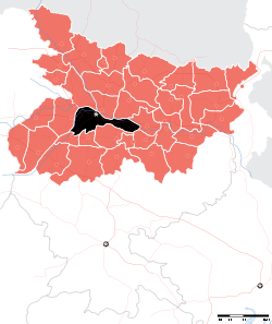 |
| PU | Purnia | Purnia | 3,264,619 | 2,540,788 | 3,228 | 787 | 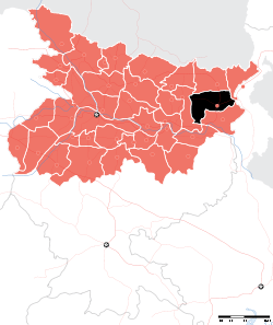 |
| RO | Rohtas | Sasaram | 2,959,918 | 2,448,762 | 3,850 | 636 | 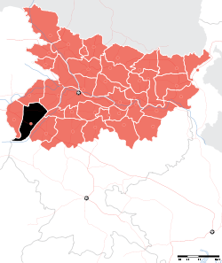 |
| SH | Saharsa | Saharsa | 1,900,661 | 1,506,418 | 1,702 | 885 | 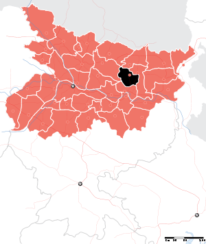 |
| SM | Samastipur | Samastipur | 4,261,566 | 3,413,413 | 2,905 | 1,175 | 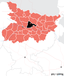 |
| SO | Sheohar | Sheohar | 656,916 | 514,288 | 443 | 1,161 | 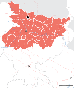 |
| SP | Sheikhpura | Sheikhpura | 634,927 | 525,137 | 689 | 762 | 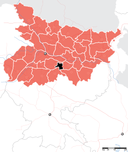 |
| SR | Saran | Chhapra | 3,951,862 | 3,251,474 | 2,641 | 1,231 | 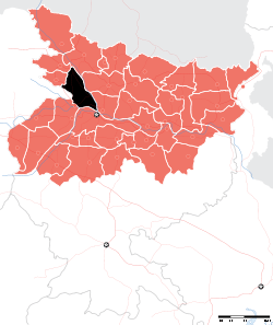 |
| ST | Sitamarhi | Sitamarhi | 3,423,574 | 2,669,887 | 2,199 | 1,214 | 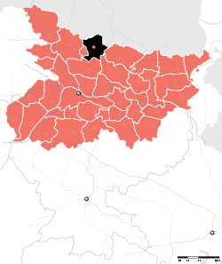 |
| SU | Supaul | Supaul | 2,229,076 | 1,745,069 | 2,410 | 724 | 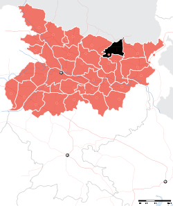 |
| SW | Siwan | Siwan | 3,330,464 | 2,708,840 | 2,219 | 1,221 | 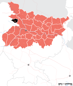 |
| VA | Vaishali | Hajipur | 3,495,021 | 2,712,389 | 2,036 | 1,332 | 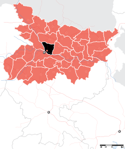 |
| WC | West Champaran | Bettiah | 3,935,042 | 3,043,044 | 5,229 | 582 |  |
References
- ↑ "Bihar Population Census data 2011". census2011.co.in. 2011. Retrieved 24 January 2014.
- ↑ "Jehanabad District : Census 2011 data". census2011.co.in. 2011. Retrieved 25 January 2014.
External links
- http://districts.nic.in/disdetails.aspx?str_state=Ymg=
- Bihar Districts Information Portal bihar
- http://www.biharspider.com/resources/2437-Districts-Bihar-Names.aspx
This article is issued from Wikipedia - version of the 9/14/2016. The text is available under the Creative Commons Attribution/Share Alike but additional terms may apply for the media files.