Uqhu (Marcapomacocha)
This article is about the mountain in the Marcapomacocha District, Yauli Province, Junín Region, Peru. For other uses, see Uqhu (disambiguation).
| Uqhu | |
|---|---|
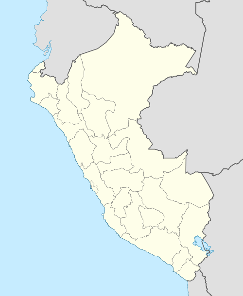
 Uqhu Peru | |
| Highest point | |
| Elevation | 5,100 m (16,700 ft) [1] |
| Coordinates | 11°31′21″S 76°14′47″W / 11.52250°S 76.24639°WCoordinates: 11°31′21″S 76°14′47″W / 11.52250°S 76.24639°W |
| Geography | |
| Location | Peru, Junín Region |
| Parent range | Andes |
Uqhu (Quechua for swamp,[2] hispanicized spelling Uco) or Ukhu (Quechua for deep)[2] is a mountain in the Andes of Peru, about 5,100 metres (16,732 ft) high. It is located in the Junín Region, Yauli Province, Marcapomacocha District. Uqhu lies northwest of Yuraqqucha and Pukaqucha. It is situated northeast of a plain called Pampa Uqhu ("swamp plain", hispanicized Pampa Uco). Uqhu is also the name of the little lake west of the mountain.[1]
References
This article is issued from Wikipedia - version of the 12/21/2015. The text is available under the Creative Commons Attribution/Share Alike but additional terms may apply for the media files.