Topock Fire
| Topock Fire | |
|---|---|
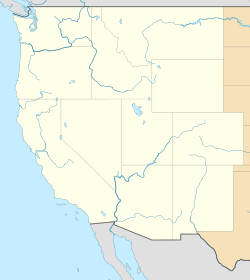
| Location | Needles, California and Topock, Arizona |
| Coordinates | 34°45′40″N 114°31′26″W / 34.761°N 114.524°W |
| Statistics | |
| Date(s) | April 4, 2016 – April 9, 2016 |
| Burned area | 2,232 acres (9 km2) |
| Map | |
 | |
The Topock Fire (known as the Pirate Fire in California) was a fire that burned in Arizona and California, and was named for nearby Topock, Arizona.[1][2]
References
- ↑ "Colorado River wildfire grows to 2,200 acres in Arizona, California; 2 mobile-home parks evacuated". The Arizona Republic. Associated Press. Retrieved 6 April 2016.
- ↑ "Topock Fire burns 2,200 acres". KPNX-TV. 7 April 2016. Retrieved 8 April 2016.
External links
This article is issued from Wikipedia - version of the 10/17/2016. The text is available under the Creative Commons Attribution/Share Alike but additional terms may apply for the media files.