Togoville
| Togoville | |
|---|---|
 | |
 Togoville Location in Togo | |
| Coordinates: 6°14′N 1°29′E / 6.233°N 1.483°E | |
| Country |
|
| Region | Maritime Region |
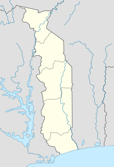
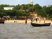
Togoville is a town and canton in southern Togo, lying on the northern shore of Lake Togo. It was originally known as Togo. The country took its name from the town of Togoville when Gustav Nachtigal signed a treaty with the town's chief, Mlapa III, in 1884,[1] from which Germany claimed overlordship over what became Togo.[2]
Places of interest
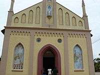
The main features of the town are Togoville Cathedral, built in 1910, and a shrine to the Virgin Mary to mark where she is said to have appeared on 7 November in the early 1970s. This area is a centre for the practice of voodoo and there are numerous voodoo shrines in the town and the former royal palace. Nearby there is an important sacred forest. A short distance to the west of the church is the Maison Royale, a small museum that houses Mlapa's throne and various historic relics and photographs.[3] In June 1984, a monument commemorating the 100th anniversary of the treaty was erected.[1]
Togoville is also recognized as a place of study for High School students. Three main schools are located in the town, the College Notre Dame Du Lac of Togoville, The College Saint Augustin, and the College d'Enseignement General of Togoville. Many students come from all over the country and the African continent to attend school in Togoville.[4]
References


- 1 2 Cleere, Henry (2005). Archaeological Heritage Management in the Modern World. Routledge. p. 123. ISBN 0-415-21448-3.
- ↑ Ebeku, Kaniye S. A (2005). The Succession of Faure Gnassingbe to the Togolese Presidency: An International Law Perspective. Stylus Publishing. p. 7. ISBN 91-7106-554-7.
- ↑ Anthony Ham (2009). West Africa. Lonely Planet. p. 784. ISBN 978-1-74104-821-6.
- ↑ "cite web".
Coordinates: 6°14′N 1°29′E / 6.233°N 1.483°E