Taba, Solomon Islands
| Taba | |
|---|---|
| Village | |
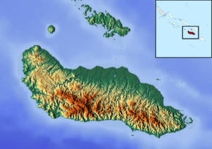 Taba Location in Guadalcanal | |
| Coordinates: 9°15′51″S 159°40′10″E / 9.26417°S 159.66944°ECoordinates: 9°15′51″S 159°40′10″E / 9.26417°S 159.66944°E | |
| Country |
|
| Province | Guadalcanal |
| Island | Guadalcanal |
| Time zone | UTC (UTC+11) |
Taba is a village on the northwest coast of Guadalcanal, Solomon Islands. It is located 42.8 kilometres (26.6 mi) by road northwest of Honiara.[1] It lies on Coughlin Bay.
References
- ↑ Maps (Map). Google Maps.
This article is issued from Wikipedia - version of the 8/22/2015. The text is available under the Creative Commons Attribution/Share Alike but additional terms may apply for the media files.