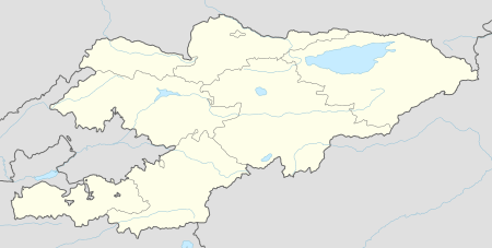
Sumsar
| Sumsar Сумсар | |
|---|---|
 Sumsar | |
| Coordinates: 41°18′0″N 71°18′36″E / 41.30000°N 71.31000°ECoordinates: 41°18′0″N 71°18′36″E / 41.30000°N 71.31000°E | |
| Country | Kyrgyzstan |
| Region | Jalal-Abad Region |
| District | Chatkal District |
| Сумсар | 1952 |
| Elevation | 1,328 m (4,357 ft) |
| Population (2009)[1] | |
| • Total | 5,967 |
| Time zone | UTC +5 |
Sumsar is an urban-type settlement in Chatkal District of Jalal-Abad Region of Kyrgyzstan.[2]
A lead and zinc mine was located in Sumsar. The mine was exploited by the Sumsar company who also operated a uranium mine in neighbouring Shekaftar. The company left behind three huge tailings site containing toxic waste: Most of Tailings No. 1 have slipped into the Sumsar river. Tailings No. 3 have never been covered, leaving a fine dust exposed to the wind. Tailngs No. 2 is also in need of repairs. The mill tailings of the lead and zinc milling in Sumsar and the low-grade uranium ore heaps in Shekaftar need an urgent remedial action because the legacy sites became chronic sources of toxic and radioactive contaminants for the Sumsar-Say River. The legacy sites are approximately 10-15 km upstream from the northern fringes of the Fergana valley that belongs to the most important agricultural areas of Soviet Central Asia. [3]
In early 2016, a joint mission by the NGO Swiss Foundation for Mine Action (Fondation Suisse de déminage, FSD) and the Kyrgyzstan Emergency Situations Ministry found that the former Sumsar lead and zinc mining and ore processing area is located in an ecologically very sensitive environment and represents a constant threat of elevated exposures to chemical contaminants for the resident populations in the Sumsar valley. [4]
References
- ↑ область.pdf Population and Housing Census 2009. Book 3 (in tables). Regions of Kyrgyzstan: Jalal-Abad Region (Перепись населения и жилищного фонда Кыргызской Республики 2009. Книга 3 (в таблицах). Регионы Кыргызстана: Джалал-Абадская область Check
|url=value (help) (PDF), Bishkek: National Committee on Statistics, 2010 - ↑ "Great Soviet Encyclopedia", accessed June 15, 2011.
- ↑ "The Mining Legacies of Sumsar and Shekaftar and their Impact in the Sumsar / Rezak Say Watershed. Proposed Remedial Measures" Isakbek Torgoev and Alexander Jakubick 2014. Retrieved October 9, 2016
- ↑ "Environmental mission advises Kyrgyzstan on mine rehab strategy" Ilan Solomons, Cramer Media Staff Writer, in the Mining Weekly, March 11, 2016. Retrieved October 9, 2016
External links
| Wikimedia Commons has media related to Sumsar. |
| Wikivoyage has a travel guide for Sumsar. |
- Animated drone flight through the Sumsar valley and the legacy tailings sites
- Toxic Tailing Mapping for Remediation in Kyrgyzstan
- Drone flight over Tailings No. 1