St. Julien's, Newfoundland and Labrador
| St Julien's | |
|---|---|
| Fishing Village | |
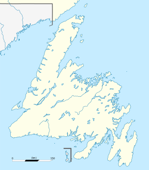 St Julien's Location of St Julien's in Newfoundland | |
| Coordinates: 51°06′17″N 55°44′43″W / 51.10472°N 55.74528°WCoordinates: 51°06′17″N 55°44′43″W / 51.10472°N 55.74528°W | |
| Country |
|
| Province |
|
| Population (2006) | |
| • Total | ? |
| Time zone | Newfoundland Time (UTC-3:30) |
| • Summer (DST) | Newfoundland Daylight (UTC-2:30) |
| Area code(s) | 709 |
St. Julien's is a small fishing community on the eastern shores of the Great Northern Peninsula on the island of Newfoundland in the Canadian province of Newfoundland and Labrador. The community is accessible via an unpaved road, Route 438, which branches off of Route 432 near the community of Main Brook.
Near the community is an abandoned copper mine which has been recently re-discovered with potential new mining quantities.[1]
During King George's War, the village was attacked in the Newfoundland Campaign (1744).
See also
References
- ↑ "Copper discovery in St. Julien's". The Telegram. Retrieved 12 November 2008.
This article is issued from Wikipedia - version of the 11/13/2016. The text is available under the Creative Commons Attribution/Share Alike but additional terms may apply for the media files.