Simichaur
| Simichaur | |
|---|---|
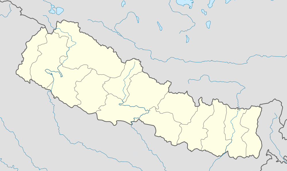 Simichaur Location in Nepal | |
| Coordinates: 28°02′N 83°15′E / 28.03°N 83.25°ECoordinates: 28°02′N 83°15′E / 28.03°N 83.25°E | |
| Country |
|
| Zone | Lumbini Zone |
| District | Gulmi District |
| Population (1991) | |
| • Total | 4,811 |
| Time zone | Nepal Time (UTC+5:45) |
Simichaur is a town in Resunga Municipality in Gulmi District in the Lumbini Zone of central Nepal. At the time of the 1991 Nepal census it had a population of 4811 persons living in 942 individual households. Almost 99% of the people are Hindus.
There are nine wards in this VDC. Amdanda village is bordered with Chhatraganj VDC of Arghakhanchi District. The main developed village is Simichaur in this VDC. There are 90 percent people of lower castes.
Simichaur is a village development committee. it is touched with district headquarters Tamghas. There are different casts people. Those are Brahama, Chhetri, Magar, and Dalits. Arjun is the top mountain of this VDC. Kalika temple, Devi Temple, Malika Temple, Arjun Temple, Juredhunga Temples are the main temples here.
One Government secondary school is here.