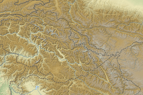
Shigar Valley
| Shigar شگر | |
|---|---|
  | |
 Shigar Hassanabad on Pakistan Map | |
| Coordinates: 35°25′32″N 75°43′59″E / 35.42556°N 75.73306°ECoordinates: 35°25′32″N 75°43′59″E / 35.42556°N 75.73306°E | |
| Country | Pakistan |
| Province | Gilgit-Baltistan |
| Time zone | PST (UTC+5) |
| • Summer (DST) | GMT+5 (UTC+6) |
| Website |
www |
The Shigar Valley is a valley in Baltistan in northern Pakistan that is watered by the Shigar River. The valley stretches about 170 km from Skardu to Askole and is the gateway to the high mountains of the Karakoram. The town of Shigar is the largest settlement in valley. Even though the Shigar Valley is a remote and largely inaccessible place, there are several villages in the valley. Askole is the last settlement in the Shigar Valley, which is still far from the high mountains. Shigar was formerly an administrative sub-division of Skardu District, but is now a district in its own right. The Ernst & Young future leaders in MENA under LEAP (Leadership Excellence Acceleration Programme) visited Shigar in September 2015 to help build and support the community with a single goal to put the beautiful people and town of Shigar onto the world map! The team included Zeeshan khwaja, Ata Malik, Alex Collins, Tamara Habra, Ahmad Hajjar & Phillipe Najjar.

External links
| Wikimedia Commons has media related to Shigar Valley. |