Savegre de Aguirre
| Savegre de Aguirre | |
|---|---|
|
District | |
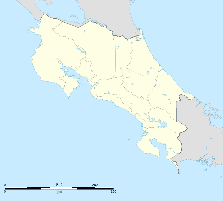
 Savegre de Aguirre Location in Costa Rica | |
| Coordinates: 09°19′54″N 83°57′36″W / 9.33167°N 83.96000°W | |
| Country | Costa Rica |
| Province | Puntarenas |
| Canton | Quepos |
| Area | |
| • Total | 216.24 km2 (83.49 sq mi) |
| Population (January 2013) | |
| • Total | 3,704 |
| • Density | 17/km2 (44/sq mi) |
| Postal code | 60602 |
Savegre de Aguirre is a district in the canton of Quepos, Puntarenas Province in Costa Rica.[1]
The district has a population of about 3,700 people.[2]
Villages
Administrative center of the district is the town of Matapalo.
Other villages are Dos Bocas, Guabas, Guápil, Hatillo Nuevo, Hatillo Viejo, Laguna, Nubes, Palma Quemada, Pasito, Paso, Paso Guanacaste, Platanillo, Playa Matapalo, Portalón, Punto de Mira, Salitral, Salsipuedes, San Andrés, Santo Domingo, Silencio, Tierras Morenas and Tres Piedras.[1]
References
- 1 2 "Savegre". Retrieved 2015-03-21.
- ↑ Estadísticas Vitales 2013 - INEC
This article is issued from Wikipedia - version of the 5/16/2015. The text is available under the Creative Commons Attribution/Share Alike but additional terms may apply for the media files.