Road signs in Colombia
Road signs in Colombia are similar to those of other South American countries. Many regulatory signs are based on European signs, while many warning signs are based on U.S. and Canadian signs.
Colombia uses the metric system of measurement and drives on the right.
Warning signs
 SP-01 Sharp curve to the left
 SP-02 Sharp curve to the right
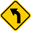 SP-03 Slight curve to the left
 SP-04 Slight curve to the right
 SP-05 Sharp reverse curve to the left, then to the right
 SP-06 Sharp reverse curve to the right, then to the left
 SP-07 Successive curves, starting with a curve to the left
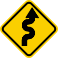 SP-08 Successive curves, starting with a curve to the right
 SP-09 Slight reverse curve to the left, then to the right
 SP-10 Slight reverse curve to the right, then to the left
 SP-11 Crossroads
 SP-12 Road intersects from the left
 SP-13 Road intersects from the right
 SP-14 "T" intersection ahead
 SP-15 "Y" fork ahead
 SP-16 Fork to the left
 SP-17 Fork to the right
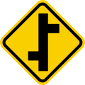 SP-18 Staggered crossroads, starting with the left
 SP-19 Staggered crossroads, starting with the right
 SP-20 Roundabout
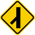 SP-21 Merge from the left
 SP-22 Merge from the right
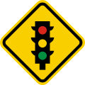 SP-23 Traffic light ahead
 SP-24 Rough road
 SP-25 Bump
 SP-26 Dip
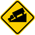 SP-27 Dangerous descent
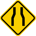 SP-28 Road narrows on the right and left
 SP-29 Stop sign ahead
 SP-30 Road narrows on the left
 SP-31 Road narrows on the right
 SP-32 Road widens on both sides
 SP-33 Yield sign ahead
 SP-34 Road widens on the left
 SP-35 Road widens on the right
 SP-36 Narrow bridge
 SP-37 Tunnel
 SP-38 Maximum weight
 SP-39 Two-way traffic
 SP-40 Warning sign, go left
 SP-41 Three lanes, one contraflow
 SP-42 Falling rocks
 SP-43 Three lanes, two contraflow
 SP-44 Slippery
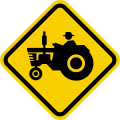 SP-45 Beware of tractors and other agricultural vehicles
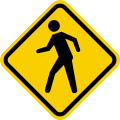 SP-46 Beware of pedestrians
 SP-47 School zone
 SP-48 Beware of children
 SP-49 Beware of animals
 SP-50 Maximum height
 SP-51 Maximum width
 SP-52 Level railroad crossing ahead
 SP-53 Barrier
 SP-54 Railroad crossing crossbuck
 SP-55 Median (two ways)
 SP-55A Median (one way)
 SP-56 End of median (two ways)
 SP-56A End of median (one way)
 SP-57 Pavement ends
 SP-59 Beware of bicyclists
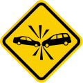 SP-67 Risk of accident
Regulatory signs
 SR-01 Stop
 SR-02 Yield
 SR-03 Straight ahead only
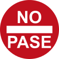 SR-04 Do not enter
 SR-05 Left turn only
 SR-06 No left turn
 SR-07 Right turn only
 SR-08 No right turn
 SR-10 No U turn
 SR-11 Two-way traffic
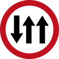 SR-12 Three lanes (one contraflow)
 SR-13 Three lanes (two contraflow)
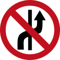 SR-14 Lane change prohibited
 SR-16 Motor vehicles prohibited
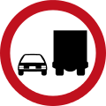 SR-17 Heavy vehicles to the right
 SR-18 Cargo vehicles prohibited
 SR-19 Pedestrians cross on the left
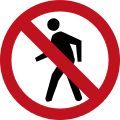 SR-20 Pedestrians prohibited
 SR-21 Equestrians prohibited
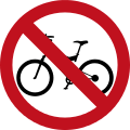 SR-22 Bicycles prohibited
 SR-23 Motorcycles prohibited
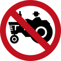 SR-24 Farm vehicles prohibited
 SR-25 Animal-powered vehicles prohibited
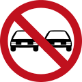 SR-26 Do not pass
 SR-28 No parking
 SR-28A No parking or stopping
 SR-29 No honking
 SR-30 Speed limit
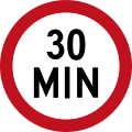 SR-30A Minimum speed limit
 SR-31 Maximum weight
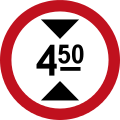 SR-32 Maximum height
 SR-33 Maximum width
 SR-34 Taxi parking zone
 SR-35 Low-beam headlights required
 SR-35A High-beam headlights required
 SR-36 Stop ahead (e.g. customs, police, toll)
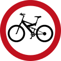 SR-37 Bike route
.svg.png) SR-38 One-way street
SR-38 One-way street SR-39 Two-way street
 SR-40 Passenger loading zone
 SR-41 No passenger loading
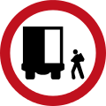 SR-42 Cargo loading zone
 SR-43 No cargo loading
 SR-44 Keep a safe distance
 SR-45 Pass only on the left of barrier
 SR-46 Pass only on the right of barrier
Information signs
 SI-05A Directional sign for cities
 SI-05B Directional sign at crossroads
 SI-07 Parking
 SI-07A Special parking zone
 SI-08 Bus stop
 SI-09 Taxi parking
 SI-10 Ferry
 SI-11 Bike route
 SI-12 National monument
 SI-13 Military zone
 SI-14 Airport
 SI-15 Lodging
 SI-16 First aid
 SI-17 Sanitary services
 SI-18 Restaurant
 SI-19 Telephone
 SI-20 Church
 SI-21 Auto service shop
 SI-22 Gas station
 SI-23 Tire repair shop
 SI-24 Pedestrian crossing
 SI-25 Pedestrian crossing designed for disabled persons
 SI-26 Name of street
 SI-29 Rail transit
 SI-30 Other public transit
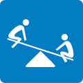 SI-31 Recreation zone
 SI-32 Currency exchange
 SI-33 Camping area
 SI-34 Beach
 SI-35 Museum
 SI-36 Pier/wharf
 SI-37 Zoo
 SI-38 Tourist information
 SI-39 Craft shop
 SI-40 Archaeological goods
 SI-41 Lake
 SI-42 Sports center
 SI-43 Scenic point
 SI-44 Car rental
 SI-45 Natural area
 SI-46 Volcano
 SI-47 Snowy area
 SI-48 Geothermal pools
 SI-49 Cascade (river)
 SI-50 Fishing area
External links
- (Spanish) Colombian road signs
This article is issued from Wikipedia - version of the 1/18/2016. The text is available under the Creative Commons Attribution/Share Alike but additional terms may apply for the media files.