Qaqa Rumi Kunka
| Qaqa Rumi Kunka | |
|---|---|
 Qaqa Rumi Kunka Peru | |
| Highest point | |
| Elevation | 4,600 m (15,100 ft) [1] |
| Coordinates | 9°15′05″S 77°52′41″W / 9.25139°S 77.87806°WCoordinates: 9°15′05″S 77°52′41″W / 9.25139°S 77.87806°W |
| Geography | |
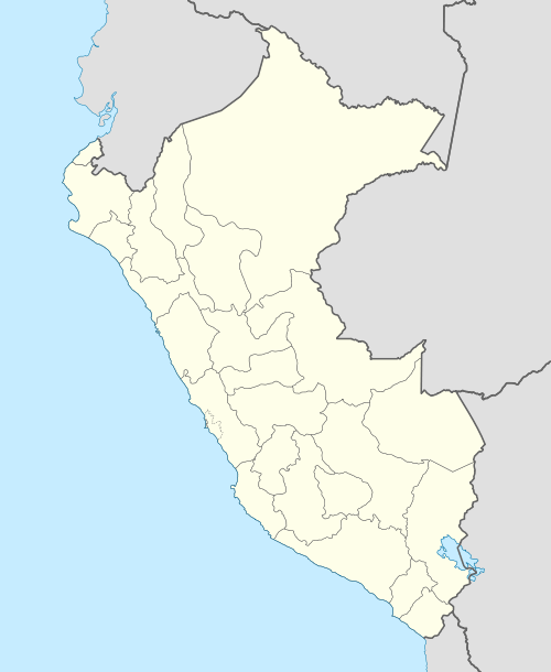
| Location | Peru, Ancash Region |
| Parent range | Andes, Cordillera Negra |
Qaqa Rumi Kunka (Quechua qaqa rock, rumi stone, kunka throat, gullet,[2] "rock stone throat", also spelled Cajarumicunca) is a mountain in the Cordillera Negra in the Andes of Peru which reaches a height of approximately 4,600 m (15,100 ft). It is located in the Ancash Region, Huaylas Province, Pamparomas District, and in the Yungay Province, Quillo District.[1]
References
This article is issued from Wikipedia - version of the 6/2/2016. The text is available under the Creative Commons Attribution/Share Alike but additional terms may apply for the media files.