Puerto Castilla Airport
| Puerto Castilla Airport | |||||||||||
|---|---|---|---|---|---|---|---|---|---|---|---|
| IATA: none – ICAO: MHCT | |||||||||||
| Summary | |||||||||||
| Serves | Puerto Castilla | ||||||||||
| Coordinates | 16°00′30″N 85°58′05″W / 16.00833°N 85.96806°WCoordinates: 16°00′30″N 85°58′05″W / 16.00833°N 85.96806°W | ||||||||||
| Map | |||||||||||
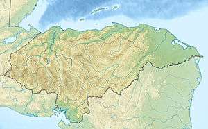
 MHCT Location in Honduras | |||||||||||
| Runways | |||||||||||
| |||||||||||
Puerto Castilla Airport (ICAO: MHCT) was an airport formerly serving Puerto Castilla, a municipality in Colón Department, Honduras.
Aerial imaging[1][2] shows the western end of the paved runway built over by buildings and storage from the Puerto Castilla container port, leaving only 200 metres (660 ft) of runway plus the aircraft turnaround on the eastern end.
References
- 1 2 Google Maps - Puerto Castilla
- 1 2 HERE Maps - Puerto Castilla
- ↑ Airport information for MHCT at Great Circle Mapper.
External links
This article is issued from Wikipedia - version of the 12/5/2016. The text is available under the Creative Commons Attribution/Share Alike but additional terms may apply for the media files.