Podgore Saddle
Podgore Saddle (Bulgarian: седловина Подгоре, ‘Sedlovina Podgore’ \se-dlo-vi-'na pod-'go-re\) is the ice-covered flat saddle of elevation 2250 m linking Tyree Ridge to Bearskin Ridge on the east side of Sentinel Range in Ellsworth Mountains, Antarctica. It is part of the glacial divide between Patton Glacier and Crosswell Glacier.
The feature is named after the settlement of Podgore in northwestern Bulgaria.
Location
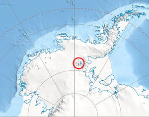
Podgore Saddle is located at 78°21′52″S 85°41′05″W / 78.36444°S 85.68472°WCoordinates: 78°21′52″S 85°41′05″W / 78.36444°S 85.68472°W, which is 2 km west-southwest of Mount Bearskin, 6.35 km northeast of Mount Tyree, and 8.4 km southeast of Evans Peak. US mapping in 1988.
Maps
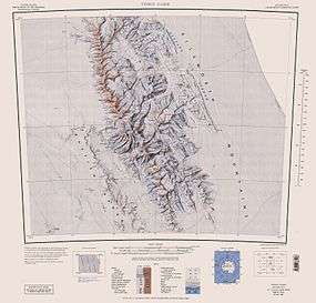
- Vinson Massif. Scale 1:250000 topographic map. Reston, Virginia: US Geological Survey, 1988.
References
- Podgore Saddle. SCAR Composite Antarctic Gazetteer.
- Bulgarian Antarctic Gazetteer. Antarctic Place-names Commission. (details in Bulgarian, basic data in English)
This article includes information from the Antarctic Place-names Commission of Bulgaria which is used with permission.