Pacasmayo Airport
| Pacasmayo Airport | |||||||||||
|---|---|---|---|---|---|---|---|---|---|---|---|
| IATA: none – ICAO: SPYO | |||||||||||
| Summary | |||||||||||
| Airport type | Public | ||||||||||
| Serves | Pacasmayo | ||||||||||
| Elevation AMSL | 95 ft / 29 m | ||||||||||
| Coordinates | 7°24′50″S 79°34′13″W / 7.41389°S 79.57028°WCoordinates: 7°24′50″S 79°34′13″W / 7.41389°S 79.57028°W | ||||||||||
| Map | |||||||||||
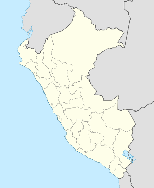 SPYO Location of the airport in Peru | |||||||||||
| Runways | |||||||||||
| |||||||||||
Pacasmayo (ICAO: SPYO) is an airport serving the city of Pacasmayo in the La Libertad Region of Peru.
See also
References
- ↑ Airport information for SPYO at Great Circle Mapper.
- ↑ "Google Maps". Retrieved 4 September 2016.
External links
This article is issued from Wikipedia - version of the 12/5/2016. The text is available under the Creative Commons Attribution/Share Alike but additional terms may apply for the media files.