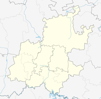
Observatory, Gauteng
| Observatory | |
|---|---|
 Observatory  Observatory  Observatory
| |
|
Location within Greater Johannesburg  Observatory | |
| Coordinates: 26°10′34″S 28°04′55″E / 26.176°S 28.082°ECoordinates: 26°10′34″S 28°04′55″E / 26.176°S 28.082°E | |
| Country | South Africa |
| Province | Gauteng |
| Municipality | City of Johannesburg |
| Main Place | Johannesburg |
| Area[1] | |
| • Total | 0.66 km2 (0.25 sq mi) |
| Population (2011)[1] | |
| • Total | 490 |
| • Density | 740/km2 (1,900/sq mi) |
| Racial makeup (2011)[1] | |
| • Black African | 32.9% |
| • Coloured | 1.8% |
| • Indian/Asian | 4.3% |
| • White | 60.6% |
| • Other | 0.4% |
| First languages (2011)[1] | |
| • English | 71.0% |
| • Zulu | 6.9% |
| • Afrikaans | 3.9% |
| • Tswana | 3.1% |
| • Other | 15.1% |
| Postal code (street) | 7925 |
| PO box | 7935 |
Observatory is a Suburb in Johannesburg's east (Region F, the former Region 7); it borders the suburbs of Houghton Estate, Cyrildene, Linksfield, Bellevue, Bellevue East and Dewetshof. It is named for the Union Observatory established in the early 1900s (today's Johannesburg Observatory), sited on Observatory Ridge, the city's highest point. It is a well-established suburb: Observatory Girls' Primary was founded in 1918, and Observatory Golf Course (1912) is the oldest golf club in Johannesburg still operating from its original ground. The suburb also houses the Yeshivah Gedolah of Johannesburg.
References
- 1 2 3 4 "Sub Place Observatory". Census 2011.
External links
- Observatory, Johannesburg Information, wheretostay.co.za
- Suburb Map, maps.brabys.co.za
This article is issued from Wikipedia - version of the 8/5/2016. The text is available under the Creative Commons Attribution/Share Alike but additional terms may apply for the media files.