Muki (Huancaya-Tomas)
This article is about the mountain on the border of the districts of Huancaya and Tomas in the Yauyos Province, Lima Region, Peru. For other uses, see Muki.
| Muki | |
|---|---|
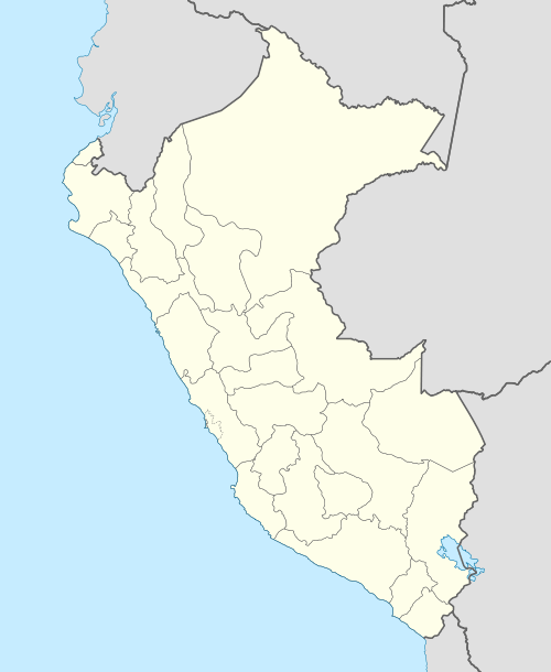 Muki Peru | |
| Highest point | |
| Elevation | 4,800 m (15,700 ft) [1] |
| Coordinates | 12°06′51″S 75°45′29″W / 12.11417°S 75.75806°WCoordinates: 12°06′51″S 75°45′29″W / 12.11417°S 75.75806°W |
| Geography | |
| Location | Peru, Lima Region |
| Parent range | Andes, Cordillera Central |
Muki (Quechua for asphyxia, also for a goblin who lives in subterranean caves,[2] also spelled Muqui) is a mountain in the Cordillera Central in the Andes of Peru which reaches a height of approximately 4,800 metres (15,748 ft). It is located in the Lima Region, Yauyos Province, on the border of the districts of Huancaya and Tomas.[1]
References
This article is issued from Wikipedia - version of the 5/25/2016. The text is available under the Creative Commons Attribution/Share Alike but additional terms may apply for the media files.