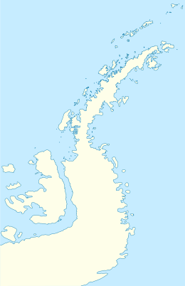
Melchior Islands
|
| |
 Melchior Islands Location in Antarctica | |
| Geography | |
|---|---|
| Location | Antarctica |
| Coordinates | 64°19′S 62°57′W / 64.317°S 62.950°WCoordinates: 64°19′S 62°57′W / 64.317°S 62.950°W |
| Archipelago | Palmer Archipelago |
| Major islands | Eta Island, Omega Island |
| Administration | |
|
None | |
| Demographics | |
| Population | Data not available |
| Additional information | |
| Administered under the Antarctic Treaty System | |
The Melchior Islands are a group of many low, ice-covered islands lying near the center of Dallmann Bay in the Palmer Archipelago, Antarctica. They were first seen but left unnamed by a German expedition under Eduard Dallmann, 1873–74. The islands were resighted and roughly charted by the Third French Antarctic Expedition under Jean-Baptiste Charcot, 1903–05. Charcot named what he believed to be the large easternmost island in the group "Île Melchior" after Vice Admiral Jules Melchior of the French Navy, but later surveys proved Charcot's Île Melchior to be two islands, now called Eta Island and Omega Island. The name Melchior Islands has since become established for the whole island group now described, of which Eta Island and Omega Island form the eastern part, while the Sigma Islands mark the northern limit of the islands. The group was roughly surveyed in 1927 by Discovery Investigations personnel in the RRS Discovery, and was resurveyed by Argentine expeditions in 1942 and 1943, and again in 1948.[1]
See also
- Composite Antarctic Gazetteer
- List of Antarctic islands south of 60° S
- Scientific Committee on Antarctic Research
- Territorial claims in Antarctica
- Bremen Island
- Delta Island
- Lambda Island
- Pabellon Island
- Psi Islands
- Tripod Island
References
- ↑ "Melchior Islands". Geographic Names Information System. United States Geological Survey. Retrieved 2013-09-16.
![]() This article incorporates public domain material from the United States Geological Survey document "Melchior Islands" (content from the Geographic Names Information System).
This article incorporates public domain material from the United States Geological Survey document "Melchior Islands" (content from the Geographic Names Information System).