Llwytmor
| Llwytmor | |
|---|---|
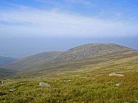
 Llwytmor from Garnedd Uchaf | |
| Highest point | |
| Elevation | 849 m (2,785 ft) |
| Prominence | 73 m (240 ft) |
| Parent peak | Carnedd Llewelyn |
| Listing | Hewitt, Nuttall |
| Coordinates | 53°12′17″N 3°57′54″W / 53.2046°N 3.9650°WCoordinates: 53°12′17″N 3°57′54″W / 53.2046°N 3.9650°W |
| Geography | |
| Location | Snowdonia, Wales |
| Topo map | OS Landranger 115 |

Llwytmor Bach from near Aber Falls
Llwytmor is a satellite peak of Foel-fras, and forms a part of the Carneddau. The summit has cairns and a shelter. Good views of the Menai Strait, the Bera's and the Northern Carneddau. The area is often frequented by the Carneddau mountain pony. This peak is very unfrequented.[1] Its full name Llwytmor Uchaf means "upper grey sea".
References
- ↑ Nuttall, John & Anne (1999). The Mountains of England & Wales - Volume 1: Wales (2nd edition ed.). Milnthorpe, Cumbria: Cicerone. ISBN 1-85284-304-7.
This article is issued from Wikipedia - version of the 6/28/2016. The text is available under the Creative Commons Attribution/Share Alike but additional terms may apply for the media files.