Lichiqucha (Chicla-Yauli)
For the mountain in the districts of Marcapomacocha, Carampoma and Huanza on the border of the Junín Region and the Lima Region, Peru, see Lichiqucha.
| Lichiqucha | |
|---|---|
 Lichiqucha Peru | |
| Highest point | |
| Elevation | 5,000 m (16,000 ft) [1] |
| Coordinates | 11°41′56″S 76°12′27″W / 11.69889°S 76.20750°WCoordinates: 11°41′56″S 76°12′27″W / 11.69889°S 76.20750°W |
| Geography | |
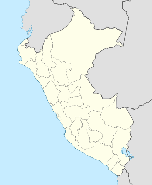
| Location | Peru, Junín Region, Lima Region |
| Parent range | Andes |
Lichiqucha (Quechua lichi milk (a borrowing from Spanish leche), qucha lake,[2][3] "milk lake", also spelled Lichicocha) is a mountain at a small lake of that name in the Andes of Peru which reaches an altitude of approximately 5,000 m (16,000 ft). It is located in the Junín Region, Yauli Province, Yauli District, and in the Lima Region, Huarochirí Province, Chicla District. Lichiqucha lies southwest of Wayrakancha.[1]
The lake named Lichiqucha is east of the mountain in the Yauli District at 11°41′57″S 76°12′00″W / 11.69917°S 76.20000°W.[1]
References
- 1 2 3 escale.minedu.gob.pe - UGEL map of the Yauli Province (Junín Region)
- ↑ Robert Beér, Armando Muyolemaj, Dr. Hernán S. Aguilarpaj, Vocabulario comparativo, quechua ecuatoriano - quechua ancashino - castellano - English, Brighton 2006
- ↑ Teofilo Laime Ajacopa, Diccionario Bilingüe Iskay simipi yuyayk'ancha, La Paz, 2007 (Quechua-Spanish dictionary)
This article is issued from Wikipedia - version of the 12/28/2015. The text is available under the Creative Commons Attribution/Share Alike but additional terms may apply for the media files.