Lapalmes, Ontario
| Lapalmes | |
|---|---|
|
Unincorporated place Railway point | |
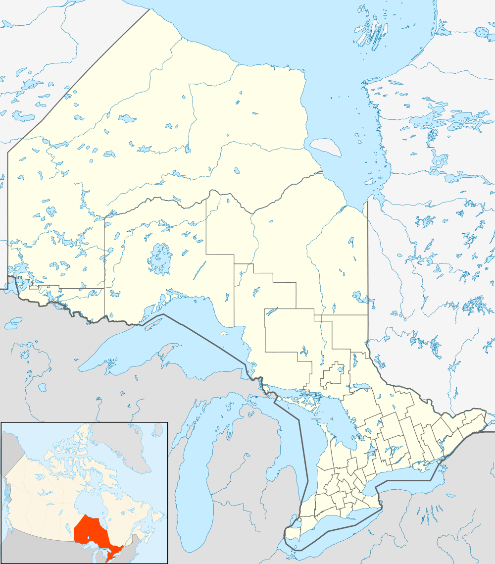 Lapalmes Location in Ontario | |
| Coordinates: 47°13′44″N 81°25′12″W / 47.22889°N 81.42000°WCoordinates: 47°13′44″N 81°25′12″W / 47.22889°N 81.42000°W[1] | |
| Country | Canada |
| Province | Ontario |
| District | Sudbury |
| Part | Sudbury, Unorganized, North |
| Established | 1912 |
| Elevation[2] | 410 m (1,350 ft) |
| Time zone | Eastern Time Zone (UTC-5) |
| • Summer (DST) | Eastern Time Zone (UTC-4) |
| Postal Code | P0M |
| Area code(s) | 705,249 |
Lapalmes (formerly Lapalmes Spur[3]) is an unincorporated place and railway point in geographic Marshay Township[4] in the Unorganized North Part of Sudbury District in Northeastern Ontario, Canada.[1] The community is on Pazhig Lake in the Wanapitei River system, part of the Great Lakes Basin.
Lapalmes is on the Canadian National Railway transcontinental main line, has a passing siding, and is passed but not served by Via Rail Canadian trains. The next community eastbound is Felix, served by Felix railway station; the next community westbound is Ruel, served by Ruel railway station.
References
- 1 2 "Lapalmes". Geographical Names Data Base. Natural Resources Canada. Retrieved 2014-05-20.
- ↑ Elevation taken from Google Earth at geographical coordinates, accessed 2014-05-20.
- ↑ "Lapalmes Spur". Geographical Names Data Base. Natural Resources Canada. Retrieved 2014-05-20.
- ↑ "Marshay" (PDF). Geology Ontario - Historic Claim Maps. Ontario Ministry of Northern Development, Mines and Forestry. Retrieved 2014-05-20.
Other map sources:
- Map 12 (PDF) (Map). 1 : 1,600,000. Official road map of Ontario. Ministry of Transportation of Ontario. 2014. Retrieved 2014-05-20.
- Restructured municipalities - Ontario map #4 (Map). Restructuring Maps of Ontario. Ontario Ministry of Municipal Affairs and Housing. 2006. Retrieved 2014-05-20.
This article is issued from Wikipedia - version of the 5/21/2014. The text is available under the Creative Commons Attribution/Share Alike but additional terms may apply for the media files.