Killa Wañunan
| Killa Wañunan | |
|---|---|
 Killa Wañunan Peru | |
| Highest point | |
| Elevation | 5,029 m (16,499 ft) [1] |
| Coordinates | 11°37′48″S 76°07′51″W / 11.63000°S 76.13083°WCoordinates: 11°37′48″S 76°07′51″W / 11.63000°S 76.13083°W |
| Geography | |
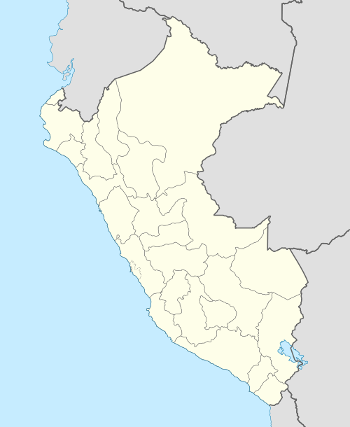
| Location | Peru, Junín Region |
| Parent range | Andes |
Killa Wañunan (Quechua killa moon, wañuy to die, -na a suffix,[2] "where the moon dies", -n a suffix, Hispanicized spelling Quillahuañunan) is a 5,029-metre-high (16,499 ft) mountain in the Andes of Peru. It lies in the Junín Region, Yauli Province, Yauli District. Killa Wañunan is situated southeast of the Antikuna mountain pass and the lake named Waqraqucha, east of Tuku Mach'ay.[1][3]
References
- 1 2 "Cerro Quillahuañunan". IGN, Peru. Retrieved May 9, 2015.
- ↑ Teofilo Laime Ajacopa, Diccionario Bilingüe Iskay simipi yuyayk'ancha, La Paz, 2007 (Quechua-Spanish dictionary)
- ↑ escale.minedu.gob.pe - UGEL map of the Huarochirí Province (Lima Region) (labelled Cerro Hurtado)
This article is issued from Wikipedia - version of the 5/5/2016. The text is available under the Creative Commons Attribution/Share Alike but additional terms may apply for the media files.