Khamyab District
| Khamyab خم آب(خمیاب | |
|---|---|
| District | |
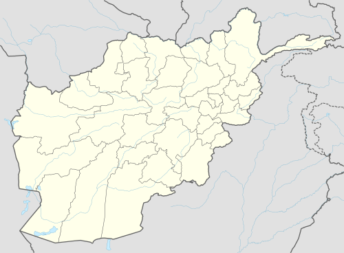
 Khamyab Location within Afghanistan[1] | |
| Coordinates: 37°19′N 65°43′E / 37.31°N 65.72°E | |
| Country |
|
| Province | Jowzjan Province |
| Population (2006) | |
| • Total | 12,400 |
Khamyab District is a frontier district in the province of Jozjan in Afghanistan. It shares borders with Turkmenistan to the north and west, Khwaja du koh District to the south and the Mingajik and Qarqin districts to the east. As of 2006, the population is 12,400. The district center is the village of Khamyab (Kham-e Ab). The river Amu Darya flows in the northern end of the district and forms part of the border with Turkmenistan.
District Map
- Map of Settlements AIMS, August 2002
References
- ↑ "District Names". National Democratic Institute. Retrieved 18 February 2016.
This article is issued from Wikipedia - version of the 3/1/2016. The text is available under the Creative Commons Attribution/Share Alike but additional terms may apply for the media files.