Kapillayuq
| Kapillayuq | |
|---|---|
 Kapillayuq Peru | |
| Highest point | |
| Elevation | 5,129 m (16,827 ft) [1] |
| Coordinates | 12°36′30″S 75°27′26″W / 12.60833°S 75.45722°WCoordinates: 12°36′30″S 75°27′26″W / 12.60833°S 75.45722°W |
| Geography | |
| Location | Peru, Junín Region |
| Parent range | Andes |
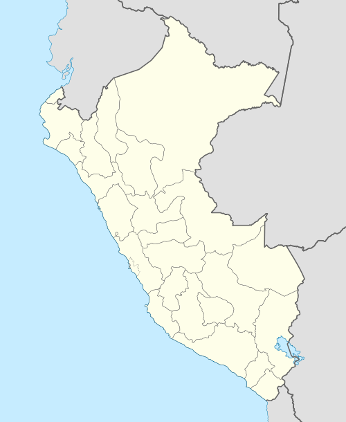
Kapillayuq (Quechua kapilla chapel (a borrowing from Spanish capilla), -yuq a suffix to indicate ownership,[2][3] "the one with a chapel", also spelled Capillayoc) is a 5,129-metre-high (16,827 ft) mountain in the Andes of Peru. It is located in the Junín Region, Huancayo Province, Chongos Alto District. Kapillayuq lies east of Walsa and west of the lake named Ñawinqucha.[1][4]
References
- 1 2 "Cerro Capillayoc". IGN, Peru. Retrieved March 25, 2015.
- ↑ Shimikunata asirtachik killka, Inka-Castellanu, Diccionario Inga-Castellano, Serie Linguística Peruana No. 52
- ↑ Teofilo Laime Ajacopa, Diccionario Bilingüe Iskay simipi yuyayk'ancha, La Paz, 2007 (Quechua-Spanish dictionary)
- ↑ escale.minedu.gob.pe - UGEL map of the Huancavelica Province 1 (Huancavelica Region)
This article is issued from Wikipedia - version of the 5/2/2016. The text is available under the Creative Commons Attribution/Share Alike but additional terms may apply for the media files.