Hwange National Park Airport
| Hwange National Park Airport | |||||||||||
|---|---|---|---|---|---|---|---|---|---|---|---|
| IATA: HWN – ICAO: FVWN | |||||||||||
| Summary | |||||||||||
| Airport type | Public | ||||||||||
| Serves | Hwange National Park | ||||||||||
| Elevation AMSL | 3,543 ft / 1,080 m | ||||||||||
| Coordinates | 18°37′45″S 27°01′15″E / 18.62917°S 27.02083°ECoordinates: 18°37′45″S 27°01′15″E / 18.62917°S 27.02083°E | ||||||||||
| Map | |||||||||||
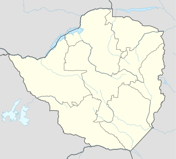
 HWN Location of the airport in Zimbabwe | |||||||||||
| Runways | |||||||||||
| |||||||||||
Hwange National Park Airport (IATA: HWN, ICAO: FVWN) is an airport in Zimbabwe that serves the Hwange National Park. Because of the ongoing economic situation in Zimbabwe, and the 2012 collapse of Air Zimbabwe, services are limited, but charter and a 3 times per week scheduled rotation to Victoria Falls is currently operated (April 2011) by Solenta Aviation using a 12-seat Cessna Grand Caravan aircraft.
Air Zimbabwe formerly included Hwange National Park on its daily internal service of Harare - Victoria Falls - Hwange - Kariba - Harare.
The Hwange VOR-DME (Ident: VWN) is located on the field. The Hwange non-directional beacon (Ident: PO) is located 4.4 nautical miles (8.1 km) off the threshold of runway 08.[3][4]
See also
References
- ↑ Airport information for HWN at Great Circle Mapper.
- ↑ Google Maps - Hwange National Park
- ↑ SkyVector Aeronautical Charts
- ↑ VWN VOR