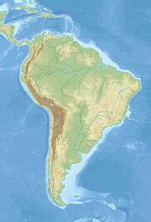
Guiana Amazonian Park
| Parc amazonien de Guyane | |
|---|---|
| Guiana Amazonian Park | |
|
IUCN category II (national park) | |
 | |
 | |
| Coordinates | 2°50′18″N 53°46′20″W / 2.83833°N 53.77222°WCoordinates: 2°50′18″N 53°46′20″W / 2.83833°N 53.77222°W |
| Area | 20,300 km2 (7,838 sq mi) |
| Established | 2007 |
| Governing body | Parcs nationaux de France[1] |
| http://www.parc-guyane.gf/accueil.php | |
Guiana Amazonian Park (French: Parc amazonien de Guyane) is one of the ten national parks of France, aiming at protecting part of the amazonian forest located in French Guiana. This is the largest French national park and one of the largest national parks in the world.
It cannot be accessed from the sea-shore or by any other means other than by airplane or pirogue.
The protected area covers some 20,300 square kilometres (7,840 sq mi) for the central area (where full protection is enforced) and 13,600 square kilometres (5,250 sq mi) for the secondary area. Thus, the overall protected area represents some 33,900 square kilometres (13,090 sq mi) of rain forest.[2]
The park has been built upon territories belonging to the communes of Camopi, Maripasoula, Papaïchton, Saint-Élie and Saül.
History
In the framework of the Earth summit in Rio de Janeiro in 1992, the project of a national park in French Guiana was initiated on June 4, 1992, with the impetus provided by François Mitterrand. This was formalised through a draft agreement signed by the presidents of the general council and of the regional council of French Guiana, and also by the French Ministers of the Environment, of the Overseas Departments and Territories and of Agriculture and Forestry. Following this, in 1993 the Mission for the Creation of the French Guiana National Park was created.
A first project was proposed in late 1995 but was finally rejected in December 1997.
On June 21, 1998, the Twenké agreement led to the recognition of the rights of the native Amerindians and of the Businengue (Maroons) living within the future park's boundaries.
The final project was presented in early 2006. On March 6, 2006, the decree relating to the project of the national park being taken into account was published in the Official Journal of the French Republic.[3] Within it, the national park's name was switched to Guiana Amazonian Park.
The creation of the park was made effective by decree on February 28, 2007, despite the reluctance of several protagonists involved (general council and regional council of French Guiana). The park's governing body met for the first time on June 7, 2007.[4]
Extent
Within the 20,300 square kilometres (7,840 sq mi) central area, maximal protection is enforced and gold mining is strictly forbidden. However, the lands of the Wayanas and of the Tekos of Maripasoula do not belong to this core area, despite the fact that these Amerindian tribes had raised such a claim prior to park's effective creation.
Put together with Tumucumaque National Park (covering some 38,800 square kilometres (14,980 sq mi) in neighbouring Brazil), the Guiana Amazonian Park represents the biggest rain forest protected area in the whole world.
See also
External links
- (French) Official website
References
- ↑ Parcs Nationaux de France official website
- ↑ (French) "Online creation decree" (PDF). (120 KB)
- ↑ (French) « item no. 28 of the Official Journal of the French Republic no. 62 »
- ↑ (French) for more details on the various steps of the creation of the park, refer to http://www.parc-guyane.gf/site.php?id=4
