El Estrecho Airport
| El Estrecho Airport | |||||||||||
|---|---|---|---|---|---|---|---|---|---|---|---|
| IATA: none – ICAO: SPEE | |||||||||||
| Summary | |||||||||||
| Airport type | Public | ||||||||||
| Serves | El Estrecho | ||||||||||
| Elevation AMSL | 421 ft / 128 m | ||||||||||
| Coordinates | 2°27′10″S 72°40′20″W / 2.45278°S 72.67222°WCoordinates: 2°27′10″S 72°40′20″W / 2.45278°S 72.67222°W | ||||||||||
| Map | |||||||||||
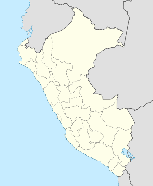 SPEE Location of the airport in Peru | |||||||||||
| Runways | |||||||||||
| |||||||||||
El Estrecho Airport (ICAO: SPEE) is an airport serving the town of El Estrecho in the Loreto Region of Peru. The town is on the Putumayo River, which forms most of the border between Colombia and Peru.
See also
References
- ↑ Airport information for SPEE at Great Circle Mapper.
- ↑ Google Maps - El Estrecho
External links
This article is issued from Wikipedia - version of the 9/10/2016. The text is available under the Creative Commons Attribution/Share Alike but additional terms may apply for the media files.