County of Fraser
| Fraser Queensland | |
|---|---|
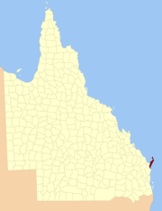 Location within Queensland |
The County of Fraser is a county (a cadastral division) of Queensland, Australia, which contains Fraser Island. It was established on 7 March 1901 under the Land Act 1897, and borders County of March on the Queensland mainland.[1][2]
Parishes
Fraser is divided into parishes, listed as follows:
| Parish | Coordinates |
|---|---|
| Bowarrady | 25°07′S 153°15′E / 25.117°S 153.250°E |
| Carree | 24°48′S 153°13′E / 24.800°S 153.217°E |
| Moonbi | 25°15′S 153°08′E / 25.250°S 153.133°E |
| Poyungan | 25°27′S 153°05′E / 25.450°S 153.083°E |
| Talboor | 25°40′S 153°02′E / 25.667°S 153.033°E |
| Wathumba | 25°00′S 153°19′E / 25.000°S 153.317°E |
References
- ↑ "Fraser (entry 40536)". Queensland Place Names. Queensland Government. Retrieved 1 September 2015.
- ↑ Wide Bay/Burnett District, County of Fraser Maps - D3 Series at Queensland Archives.
Coordinates: 25°16′S 153°05′E / 25.267°S 153.083°E
This article is issued from Wikipedia - version of the 4/4/2016. The text is available under the Creative Commons Attribution/Share Alike but additional terms may apply for the media files.