Chapi (Peru)
| Chapi | |
|---|---|
 Chapi Peru | |
| Highest point | |
| Elevation | 5,400 m (17,700 ft) [1] |
| Coordinates | 14°37′42″S 69°20′51″W / 14.62833°S 69.34750°WCoordinates: 14°37′42″S 69°20′51″W / 14.62833°S 69.34750°W |
| Geography | |
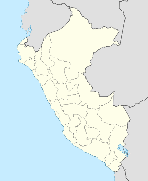
| Location | Peru, Puno Region |
| Parent range | Andes, Apolobamba |
Chapi (Quechua for tin)[2] or Ch'api (Aymara for thorn)[3] is a 5,400-metre-high (17,717 ft) mountain in the Apolobamba mountain range in the Andes of Peru. It is located in the Puno Region, Putina Province, on the border of the districts Ananea and Sina. Chapi is situated southeast of the mountains Ananea and Rit'ipata, north-west of Rit'i Urmasqa and north-east of the lake Asnuqucha.[4]
References
- ↑ www.minem.gob.pe
- ↑ Teofilo Laime Ajacopa, Diccionario Bilingüe Iskay simipi yuyayk'ancha, La Paz, 2007 (Quechua-Spanish dictionary), see: chayanta
- ↑ Radio San Gabriel, "Instituto Radiofonico de Promoción Aymara" (IRPA) 1993, Republicado por Instituto de las Lenguas y Literaturas Andinas-Amazónicas (ILLLA-A) 2011, Transcripción del Vocabulario de la Lengua Aymara, P. Ludovico Bertonio 1612 (Spanish-Aymara-Aymara-Spanish dictionary)
- ↑ escale.minedu.gob.pe/ UGEL map Putina Province (Puno Region)
This article is issued from Wikipedia - version of the 4/29/2016. The text is available under the Creative Commons Attribution/Share Alike but additional terms may apply for the media files.