Catlodge
Coordinates: 57°00′33″N 4°14′49″W / 57.00927°N 4.24696°W
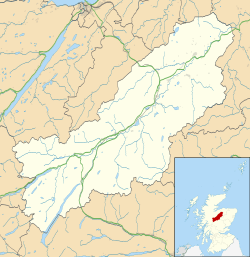
Catlodge (Scottish Gaelic: Caitleag) is a hamlet, in the district of Newtonmore in Inverness-shire, Scottish Highlands and is in the Scottish council area of Highland.
One of General Wade's military road, which is now the A889, built in the mid 18th century, passes through Catlodge, approaching from the south.

External links
| Wikimedia Commons has media related to Catlodge. |
This article is issued from Wikipedia - version of the 3/19/2013. The text is available under the Creative Commons Attribution/Share Alike but additional terms may apply for the media files.

