Anatom Airport
| Anatom Airport Aneityum Airport | |||||||||||
|---|---|---|---|---|---|---|---|---|---|---|---|
 Unity Airlines Britten-Norman Islander landing at Aneityum Airport (2015) | |||||||||||
| IATA: AUY – ICAO: NVVA | |||||||||||
| Summary | |||||||||||
| Airport type | Public | ||||||||||
| Serves | Anatom (Aneityum), Taféa, Vanuatu | ||||||||||
| Location | Inyeug | ||||||||||
| Elevation AMSL | 7 ft / 2 m | ||||||||||
| Coordinates | 20°14′57″S 169°46′17″E / 20.24917°S 169.77139°ECoordinates: 20°14′57″S 169°46′17″E / 20.24917°S 169.77139°E | ||||||||||
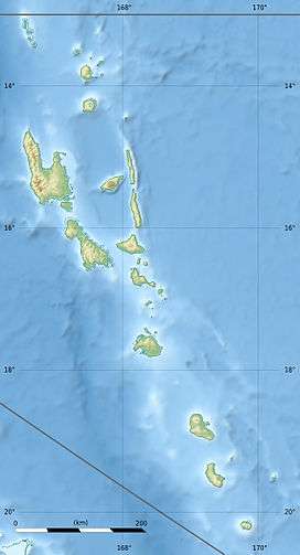
| Map | |||||||||||
 AUY Location of airport in Vanuatu | |||||||||||
| Runways | |||||||||||
| |||||||||||
|
Source: [1] | |||||||||||
Anatom Airport (IATA: AUY, ICAO: NVVA), also known as Aneityum Airport, is an airfield serving the island of Aneityum, in the Taféa province in Vanuatu. The airfield is actually located on the smaller Inyeug island.
Facilities
The airport resides at an elevation of 7 feet (2 m) above mean sea level. It has one runway which is 610 metres (2,001 ft) in length.[1]
Airlines and destinations
| Airlines | Destinations |
|---|---|
| Air Vanuatu | Tanna |
References
- 1 2 Airport information for Anelghowhat, Taféa, Vanuatu (NVVA / AUY) at Great Circle Mapper.
External links
| Wikimedia Commons has media related to Aneityum Airport. |
This article is issued from Wikipedia - version of the 12/4/2016. The text is available under the Creative Commons Attribution/Share Alike but additional terms may apply for the media files.